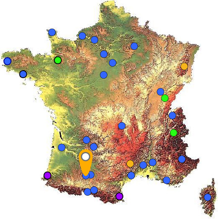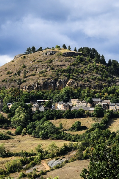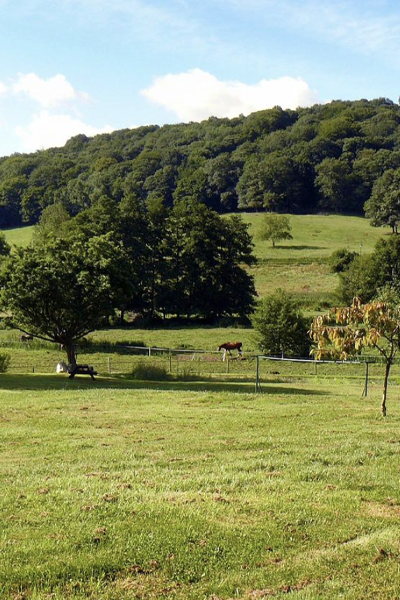
The Auradé station is located in the Auradé molassic experimental catchment area, covering 328 ha within the Coteaux de Gascogne geomorphological region (Gers). The land is mainly (94%) devoted to agriculture, essentially comprising wheat-sunflower rotations. The hydrochemical measurements initiated in 1982 aim to analyse and model the response of this critical zone to the impacts of agricultural activities and climate change on the quality of water, soil, sediments, and aquatic ecosystems, on mechanical and chemical soil erosion, on water and carbon fluxes, and on pollutant transfers.
The climate is temperate, with a predominantly oceanic influence, but also Mediterranean with easterly or south-easterly winds. The average annual temperature is 13.9°C. The average annual rainfall of 620 mm (2006-2018) is distributed from October to June with a maximum in May, and evapotranspiration is very high (500-600 mm). The RENOIR station is located on fallow land at an altitude of 178 m in the heart of the watershed.
Close relationships have been established between researchers and local stakeholders. The farmers of the Auradé catchment area are members of the Gascogne Toulousaine Farmers' Association (GAGT), which has been implementing agro-environmental measures for sustainable agriculture since 1992.

Objectives
The Auradé station,anaged by the Functional Ecology and Environment Laboratory, aims to:
-monitor the evolution of seasonal variations in the isotopic signatures of rain water, soil water and stream water, in addition to those of the major elements
-determine the origin of the climatic influences of ou “on”?? precipitation, to trace the spatio-temporal contributions of the various reservoirs to the water flow components, particularly during periods of flooding.
This site is part of the OZCAR (National Network of Critical Zone Observatories) and the RZA (National Network of Zone Workshops) Ris (Research Infrastructures), and belongs to the VCG (Vallées et Côteaux de Gascogne) site of the PYGAR Zone Workshop. In this context, it supports numerous interdisciplinary projects. It is also one of the sites selected for the PIA3 Equipex TERRA-FORMA project.

Présentation de la station d’Auradé
Data and Instrumentation...
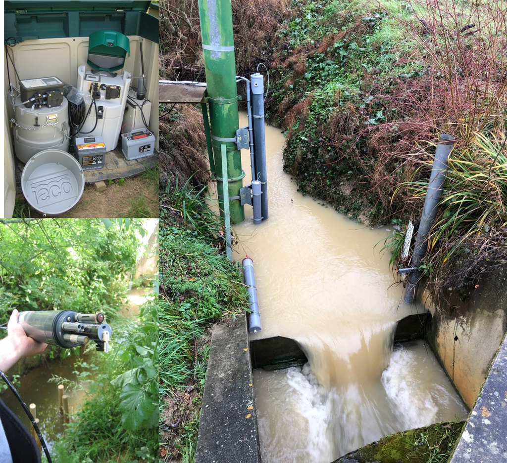
Since 1985 and at more intensively since 2004, the Auradé catchment area has been instrumented for hydrogeochemical, isotopic and climatological measurements, from atmospheric precipitation to soil solutions and the watercourse.
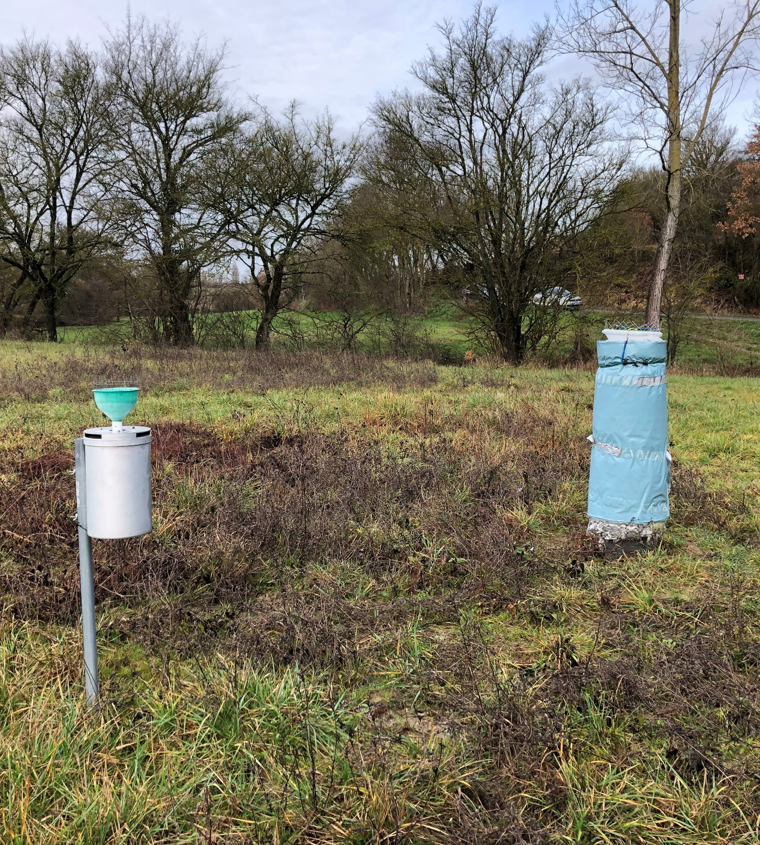
The RENOIR station has been instrumented since November 2016 with a Palmex type collector, near a meteorological station in place since 2006, and a collector of bulk precipitation for physicochemical measurements since February 2005.
18O and 2H precipitation data have been acquired weekly from 18/11/2016 to 05/04/2018, then monthly since integration of the station into the RENOIR network (06/04/2018).
Latitude
Longitude
Altitude
