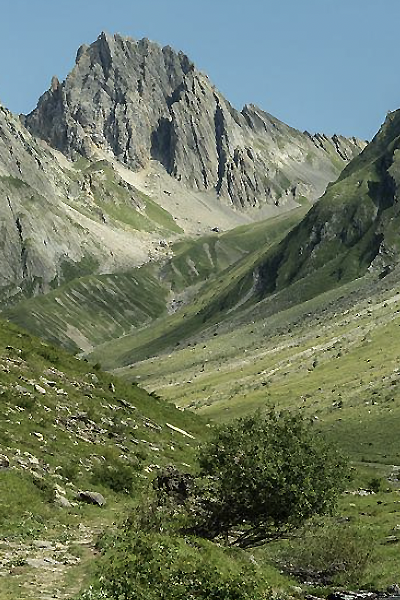
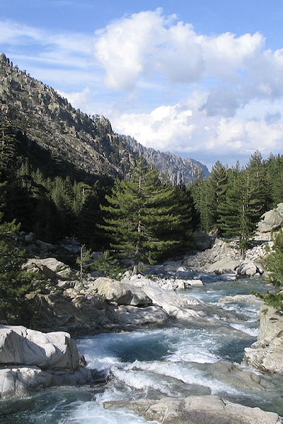
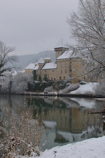
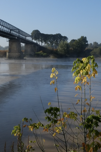
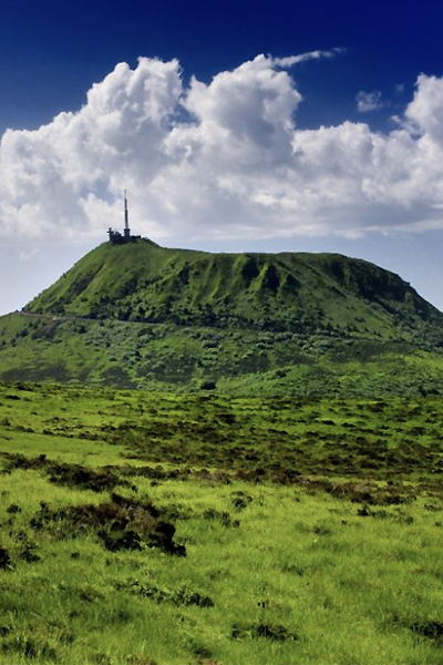
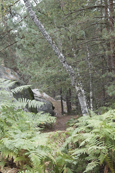
The Baget karstic catchment area (Pyrenees, Ariège) is a medium-elevation (498-1417 m) mountain ecosystem covering an area of 13.25 km2. It is drained at the surface level by the Lachein stream. The objective of the Baget station is to monitor the response of this catchment area to climate change and anthropogenic disturbances (in terms of its water quality and biodiversity) by analysing changes in abiotic (hydroclimatic, physicochemical and isotopic) and biotic (land use, etc.) parameters, as well as the evolution of the ecosystem and its various habitats.
This basin is essentially forested with a zone of meadows in its central upstream part, being very little anthropised. The climate, with 1380 mm of precipitation per year and an average annual temperature of 10.7°C, is mountain temperate with an oceanic influence and a bimodal rainfall regime (December and May).
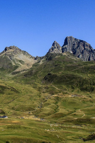
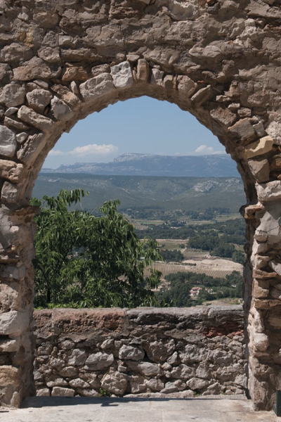
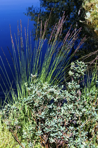
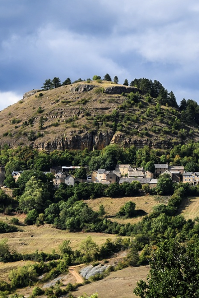
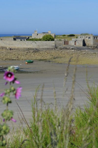
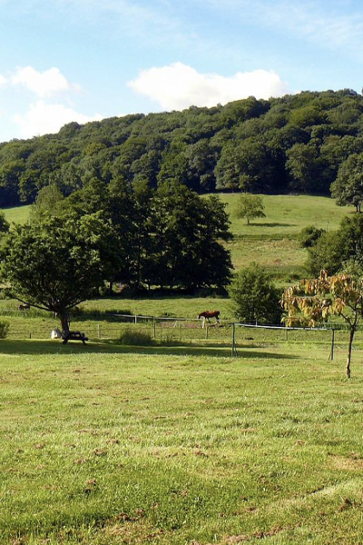
The RENOIR station is located at the edge of the catchment area, above the village of Balagué at an altitude of 655 m, in an open, high plateau area covered by meadows mainly dedicated to livestock.


Monitoring
Instrumented since April 1968 for hydrological monitoring immediately downstream of the main perennial outlet (Las Hountas), the Baget station, managed by the Functional Ecology and Environment Laboratory, aims to:
- monitor the evolution of seasonal variations in the isotopic signal of the rain and the Lachein stream, in addition to the major elements;
- determine the origin of the climatic influences on precipitation and trace the spatio-temporal contributions of the various critical zone reservoirs to the water flows, particularly during periods of flooding.
This site belongs to the OZCAR (National Network of Critical Zone Observatories) and the RZA (National Network of Zone Work Groups) Ris (Research Infrastuctures), the SNO-Karst (National Observation Service for Karstic Systems), and the Pyrenean site of the PYGAR Zone Work Group. Within this framework, it supports numerous interdisciplinary projects.
High-resolution monitoring is carried out using multi-parameter probes, recording sensors and automatic samplers. This site has some of the longest hydrochemical records of the above networks.

Présentation de la station du Baget
The RENOIR station has been instrumented since July 2019 with a Palmex-type collector, equipped with a cylindrical snow collection system in winter. Physicochemical parameters of precipitation are determined in parallel with isotopic measurements. A meteorological station was re-installed in July 2019 on its historical site.
An agreement was signed with the Balagué town hall for this installation
18O and 2H precipitation data have been collected at monthly intervals since integration of the Baget station into the RENOIR network (in July 2019).
Meteorological and major chemical data in precipitation are available from July 2019 onwards.
In parallel, water isotope contents have been monitored at the stream outlet at monthly intervals and more frequently during flood episodes since 2016.
Latitude
Longitude
Altitude

Découvrez nos stations
04. Draix
La station de Draix est située sur le site de l’observatoire de Draix-
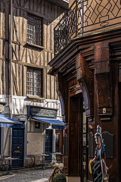
09. Baget
Le bassin versant karstique du Baget (Pyrénées, Ariège) est un
09. Bernadouze
La station de Bernadouze est située sur le site de la tourbières de
2B. Corte
La station de Corte se trouve au centre de la Corse, entre les
24. Villars
Située sur la commune de Villars en Dordogne, cette station est
25. Chevillotte
La station de Chevillotte est localisée à 15 km à l’est de
25. Frasne
Située à 852 m d’altitude dans la vallée du Drugeon dans le Massif du
25. Port-Douvot
La station météorologique de Port Douvot est localisée à 5 km au

32. Auradé
La station d’Auradé est située dans le Bassin Versant Expérimental
33. Cestas-Pierroton
La station de Cestas-Pierroton est installée sur le campus INRAE du
34. Mèze
La ville de Mèze, située sur les bords de l’étang de Thau, dans le
35. Landemarais
Située à 145 m d’altitude sur la commune de Parigné dans le Massif
45. Orléans station – Loiret
Le climat du Loiret se caractérise par des hivers doux et pluvieux,
50. Cherbourg-Intechmer
Les spécificités du site de Cherbourg-Intechmer sont celles
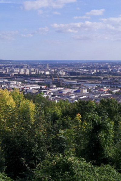
51. Reims
La station de Reims-Prunay est située dans le bassin-versant de
56. Ploemeur-Guidel
D’une superficie de 620 ha, la partie « littoral de Guidel-Ploemeur »

63. Cournon
La station météorologique de Cournon d’Auvergne est localisée
63. OPME
La station météorologique d’Opme est localisée à 10 km au sud de
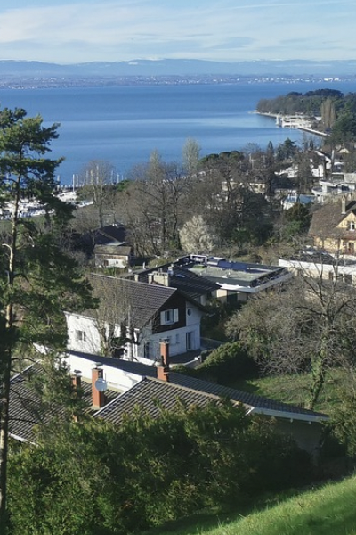
74. Thonon-les-Bains
La station de Thonon-les-Bains est localisée sur le site de la Station
84. Avignon
Avignon est située dans le sud de la France, à 60 km de la mer, dans la
91. Orsay station
La région Île-de-France bénéficie d’un climat tempéré modéré par
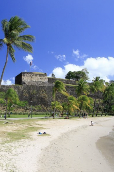
972. Fort-de-France
Le climat de la Martinique est de type tropical divisé en deux saisons

973. Cayenne Montabo
Le centre de recherche de Montabo est situé à Cayenne proche de
974. Grand-Ilet
Grand Îlet est un village des Hauts de La Réunion situé dans le cirque