The municipality benefits from a temperate oceanic climate, or an “oceanic climate with temperate summers” according to the Köppen classification. The average annual temperature is 10.9 °C, with precipitation of around 831 mm, almost evenly distributed throughout the year—slightly lower in summer (-10%) and somewhat higher from October to December (+10%). The prevailing winds, mainly from the west, are frequent on the plateau, influencing local weather conditions and contributing to cooler air.
According to the Normandy IPCC (GIEC Normand) (https://www.normandie.fr/giec-normand), the Mont-Saint-Aignan area is exposed to a “maritime climate” typical of north-western France: it is cool, humid, and rainy, and corresponds to the Pays de Caux, which is slightly cooler than the Cotentin region.


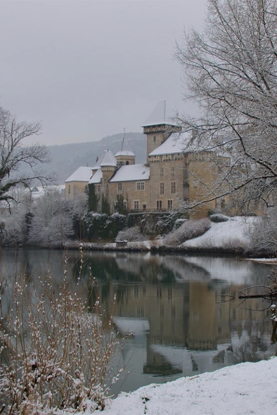
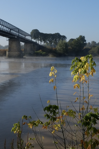
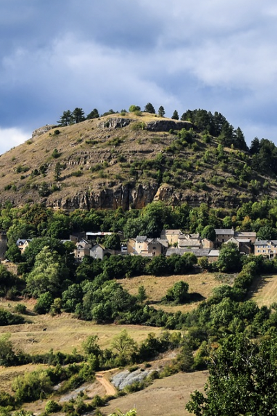
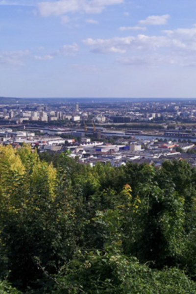
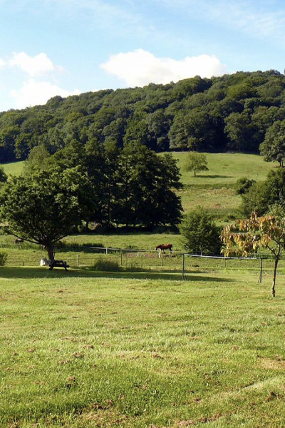
A rolling plateau…
Mont-Saint-Aignan, located near the city of Rouen in Normandy, stretches across a plateau overlooking the Seine Valley. The landscape is mainly composed of gentle hills and wooded areas, offering open viewpoints over the surrounding scenery. The urban fabric is relatively dense around the town center and residential districts, while natural spaces remain green and pleasant.

Présentation de la station du Mt St Aignan
The Mont-Saint-Aignan station is located on the University of Rouen campus, on the flat rooftop of Building 44, sheltered from any interference. The campus lies on a plateau overlooking the Seine Valley and is exposed to north-westerly winds. The data collected at the site are monthly and have been recorded since January 2021. Analyses are carried out at the GEOPS laboratory (Orsay).
The data collected at the Norville site are monthly and began in January 2021.
The analyses are carried out at the GEOPS laboratory (Orsay).
Latitude
Longitude
Altitude

Découvrez nos stations
04. Draix
La station de Draix est située sur le site de l’observatoire de Draix-
09. Baget
Le bassin versant karstique du Baget (Pyrénées, Ariège) est un
09. Bernadouze
La station de Bernadouze est située sur le site de la tourbières de
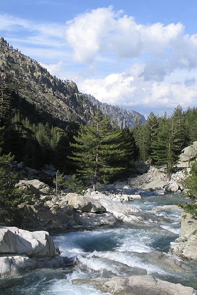
2B. Corte
La station de Corte se trouve au centre de la Corse, entre les
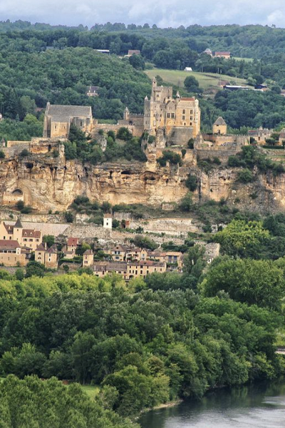
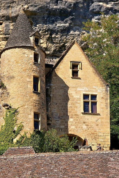
24. Villars
Située sur la commune de Villars en Dordogne, cette station est
25. Chevillotte
La station de Chevillotte est localisée à 15 km à l’est de
25. Frasne
Située à 852 m d’altitude dans la vallée du Drugeon dans le Massif du
25. Port-Douvot
La station météorologique de Port Douvot est localisée à 5 km au

32. Auradé
La station d’Auradé est située dans le Bassin Versant Expérimental
33. Cestas-Pierroton
La station de Cestas-Pierroton est installée sur le campus INRAE du
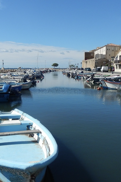
34. Mèze
La ville de Mèze, située sur les bords de l’étang de Thau, dans le

35. Landemarais
Située à 145 m d’altitude sur la commune de Parigné dans le Massif
45. Orléans station – Loiret
Le climat du Loiret se caractérise par des hivers doux et pluvieux,
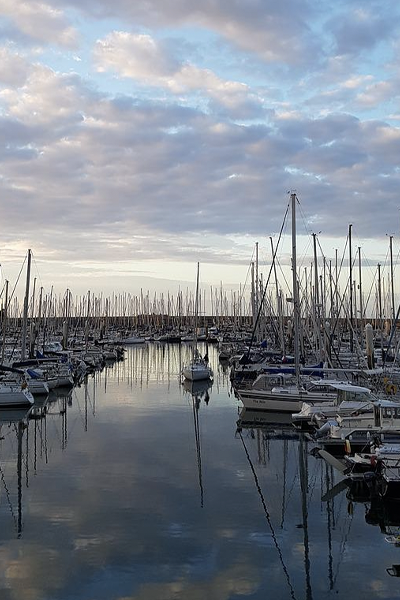
50. Cherbourg-Intechmer
Les spécificités du site de Cherbourg-Intechmer sont celles

51. Reims
La station de Reims-Prunay est située dans le bassin-versant de
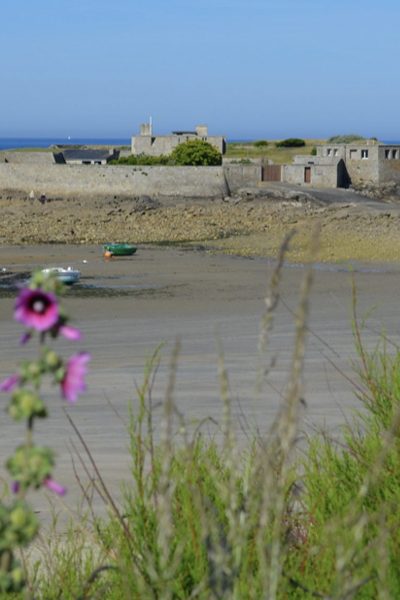
56. Ploemeur-Guidel
D’une superficie de 620 ha, la partie « littoral de Guidel-Ploemeur »

63. Cournon
La station météorologique de Cournon d’Auvergne est localisée
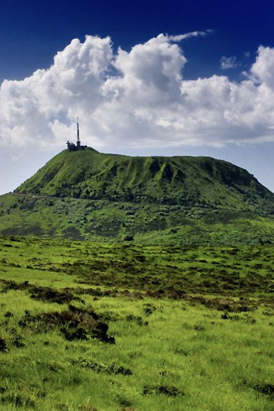
63. OPME
La station météorologique d’Opme est localisée à 10 km au sud de
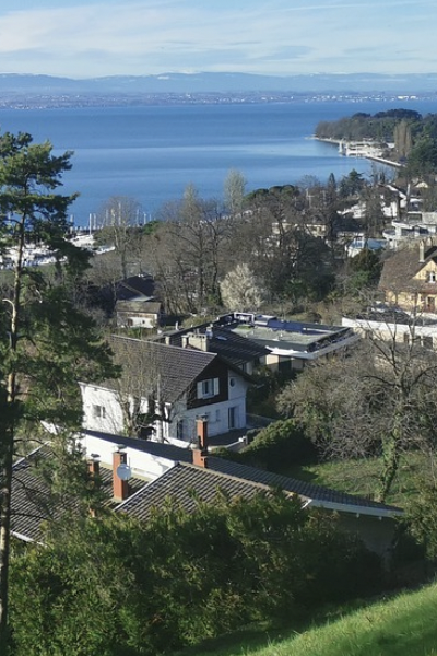
74. Thonon-les-Bains
La station de Thonon-les-Bains est localisée sur le site de la Station
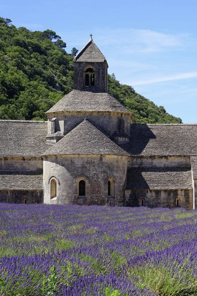
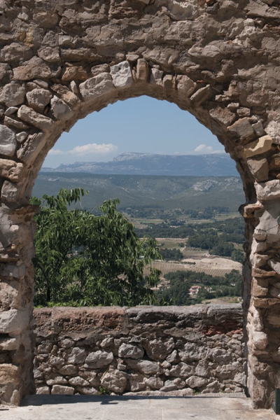
84. Avignon
Avignon est située dans le sud de la France, à 60 km de la mer, dans la
91. Orsay station
La région Île-de-France bénéficie d’un climat tempéré modéré par
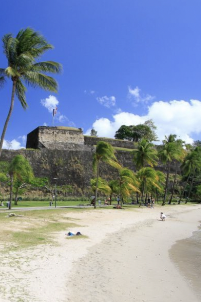
972. Fort-de-France
Le climat de la Martinique est de type tropical divisé en deux saisons

973. Cayenne Montabo
Le centre de recherche de Montabo est situé à Cayenne proche de
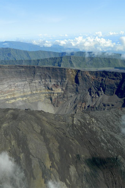
974. Grand-Ilet
Grand Îlet est un village des Hauts de La Réunion situé dans le cirque