The climate of the region around Norville is of the oceanic type and falls within the climatic zone known as the “Eastern English Channel Coast”, characterized by low sunshine (1,550 hours per year), high air humidity (more than 20 hours per day with relative humidity above 80% in winter), and frequent strong winds. More specifically, the Normandy IPCC (https://www.normandie.fr/giec-normanddistinguishes three main types of climate for the Normandy region, further refined at a finer scale by local geographical factors. The Norville site is therefore exposed to a “contrasted hill climate”, which is less directly influenced by oceanic airflows but nonetheless experiences fairly significant precipitation due to the hilly relief that favors its formation.
Over the period 1971–2020, the average annual temperature was 11.6°C. Average annual precipitation amounted to 844 mm, with an annual average of 46 frost days.


Monitoring
The Norville site is part of the Karst SNO network (https://sokarst.org/sites/karst-de-la-craie/The Karst SNO systems correspond to binary karst systems developed in chalk formations beneath a cover of superficial deposits, with varying degrees of karstification that differ spatially across the Paris Basin.
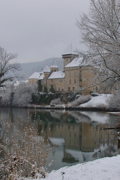
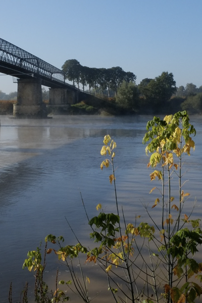
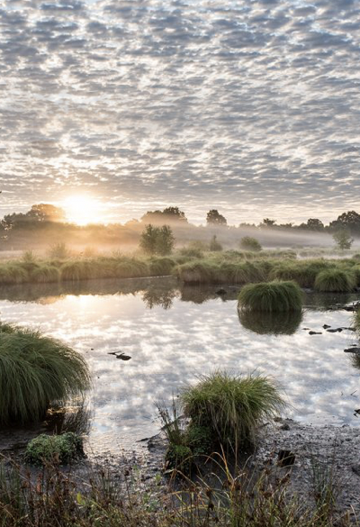
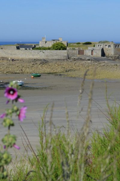
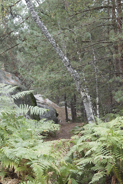
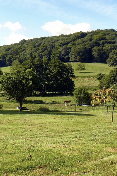
The Norville site consists of a spring and the Norville borehole; the spring is fed by a main karst conduit into which a small perennial stream sinks. Its catchment area is small and is mainly used for livestock farming. Transfer from the surface is very rapid (less than 24 hours).
High-resolution monitoring is carried out using multi-parameter probes, recording sensors and automatic samplers. This site has some of the longest hydrochemical records of the above networks.

Présentation de la station du Baget
The data collected at the Norville site are monthly and began in January 2021.
The analyses are carried out at the GEOPS laboratory (Orsay).
Latitude
Longitude
Altitude

Découvrez nos stations
04. Draix
La station de Draix est située sur le site de l’observatoire de Draix-
09. Baget
Le bassin versant karstique du Baget (Pyrénées, Ariège) est un
09. Bernadouze
La station de Bernadouze est située sur le site de la tourbières de
2B. Corte
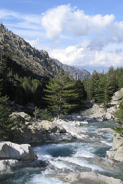
La station de Corte se trouve au centre de la Corse, entre les
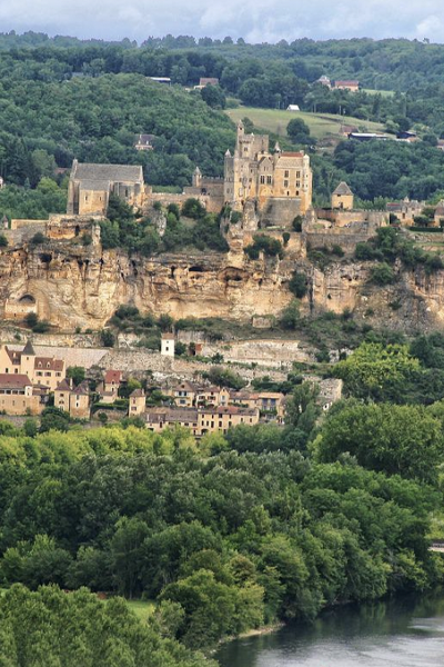
24. Villars
Située sur la commune de Villars en Dordogne, cette station est
25. Chevillotte
La station de Chevillotte est localisée à 15 km à l’est de
25. Frasne
Située à 852 m d’altitude dans la vallée du Drugeon dans le Massif du
25. Port-Douvot
La station météorologique de Port Douvot est localisée à 5 km au

32. Auradé
La station d’Auradé est située dans le Bassin Versant Expérimental
33. Cestas-Pierroton
La station de Cestas-Pierroton est installée sur le campus INRAE du
34. Mèze
La ville de Mèze, située sur les bords de l’étang de Thau, dans le
35. Landemarais
Située à 145 m d’altitude sur la commune de Parigné dans le Massif
45. Orléans station – Loiret
Le climat du Loiret se caractérise par des hivers doux et pluvieux,
50. Cherbourg-Intechmer
Les spécificités du site de Cherbourg-Intechmer sont celles
51. Reims
La station de Reims-Prunay est située dans le bassin-versant de
56. Ploemeur-Guidel
D’une superficie de 620 ha, la partie « littoral de Guidel-Ploemeur »

63. Cournon
La station météorologique de Cournon d’Auvergne est localisée
63. OPME
La station météorologique d’Opme est localisée à 10 km au sud de
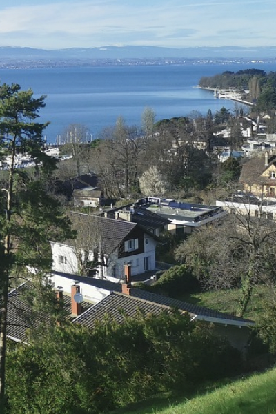
74. Thonon-les-Bains
La station de Thonon-les-Bains est localisée sur le site de la Station
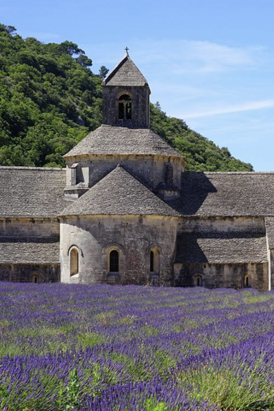
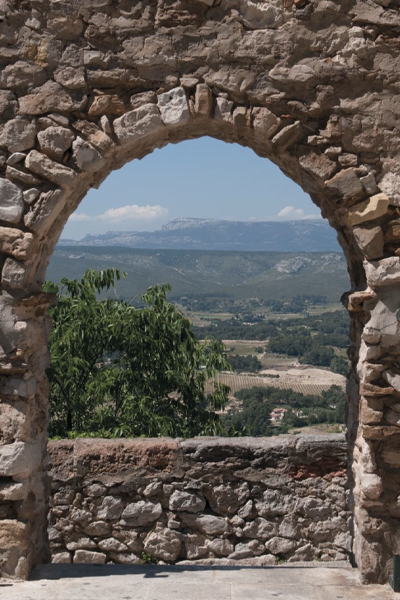
84. Avignon
Avignon est située dans le sud de la France, à 60 km de la mer, dans la
91. Orsay station
La région Île-de-France bénéficie d’un climat tempéré modéré par
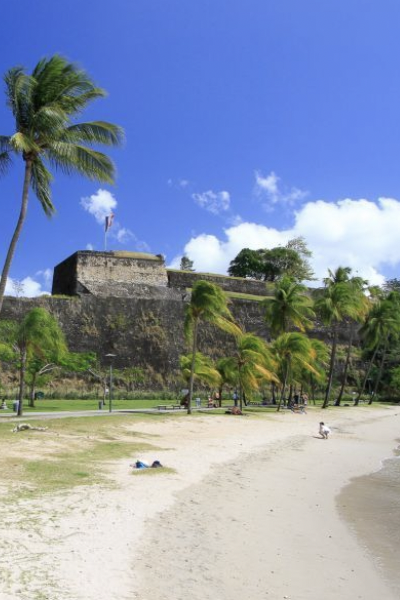
972. Fort-de-France
Le climat de la Martinique est de type tropical divisé en deux saisons

973. Cayenne Montabo
Le centre de recherche de Montabo est situé à Cayenne proche de
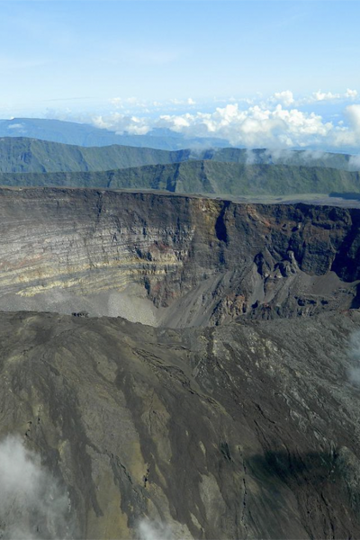
974. Grand-Ilet
Grand Îlet est un village des Hauts de La Réunion situé dans le cirque