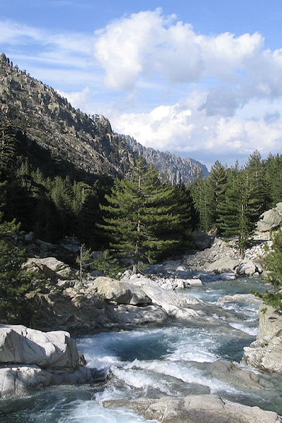
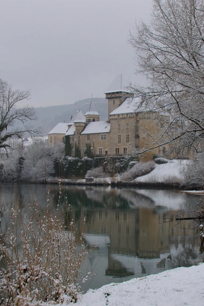
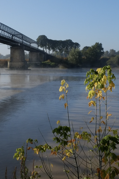
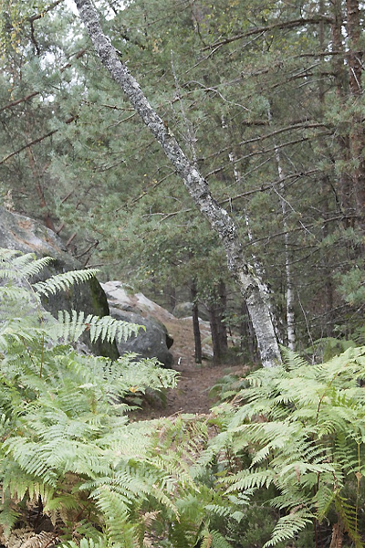
This station, situated in the commune of Villars en Dordogne is exposed to a frankly temperate oceanic climate. The summers are hot, but not systematically dry, the winters being mild and humid. The mean annual temperature during the period 1971-2000 was 12.2 °C, temperatures rising during the subsequent decades. The mean annual rainfall, around 950 mm, varies widely from one year to another..


A long isotopic series in a temperate oceanic and karstic context
The Villars station was established in 1996 to compare the isotopic signals of rainwater and subterranean water issuing from the stalactites in the cave located just below the station. A dual follow-up of the isotopic signals of rainfall and subterranean water at different depths has been implemented ever since that date. By comparing the two signals, the mean times of infiltration between the outer surface and the interior of the cave at depths of 12 m and 25 m could be estimated. Whereas rainfall is characterised by substantial seasonal variations, subterranean waters, at a few metres below the surface, have remained extremely stable over several years or even decades. We have also been able to relate rainfall isotopic variations between different seasons and different years to isotopic variations in water sources, using retro-trajectory models, demonstrating the non-negligible influence of this factor on isotopic composition.

Presentation of the Villars station
The Villars station has been collecting monthly samples of precipitation since 2019. During the period 1996-2019, samples were collected every 1-3 months.
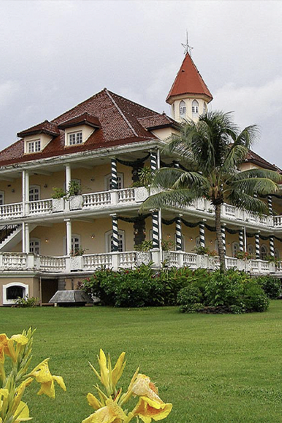
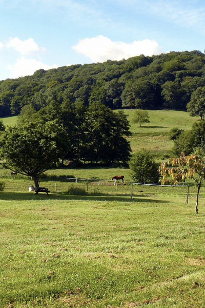
Currently there is a meteorological station on site (see photo) as well as a reference meteorological station located in Saint Martin-de-Fressengeas.
Latitude
Longitude
Altitude

Découvrez nos stations
04. Draix
La station de Draix est située sur le site de l’observatoire de Draix-
09. Baget
Le bassin versant karstique du Baget (Pyrénées, Ariège) est un
09. Bernadouze
La station de Bernadouze est située sur le site de la tourbières de
2B. Corte
La station de Corte se trouve au centre de la Corse, entre les
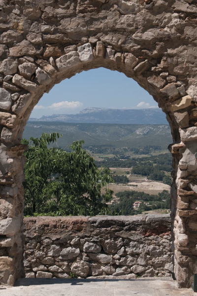
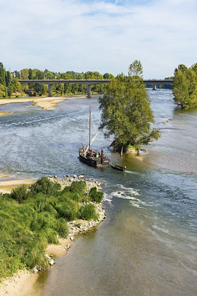
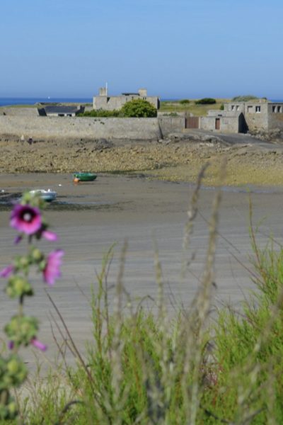
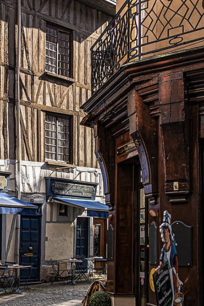
24. Villars
Située sur la commune de Villars en Dordogne, cette station est
25. Chevillotte
La station de Chevillotte est localisée à 15 km à l’est de
25. Frasne
Située à 852 m d’altitude dans la vallée du Drugeon dans le Massif du
25. Port-Douvot
La station météorologique de Port Douvot est localisée à 5 km au

32. Auradé
La station d’Auradé est située dans le Bassin Versant Expérimental
33. Cestas-Pierroton
La station de Cestas-Pierroton est installée sur le campus INRAE du
34. Mèze
La ville de Mèze, située sur les bords de l’étang de Thau, dans le
35. Landemarais
Située à 145 m d’altitude sur la commune de Parigné dans le Massif
45. Orléans station – Loiret
Le climat du Loiret se caractérise par des hivers doux et pluvieux,
50. Cherbourg-Intechmer
Les spécificités du site de Cherbourg-Intechmer sont celles
51. Reims
La station de Reims-Prunay est située dans le bassin-versant de
56. Ploemeur-Guidel
D’une superficie de 620 ha, la partie « littoral de Guidel-Ploemeur »

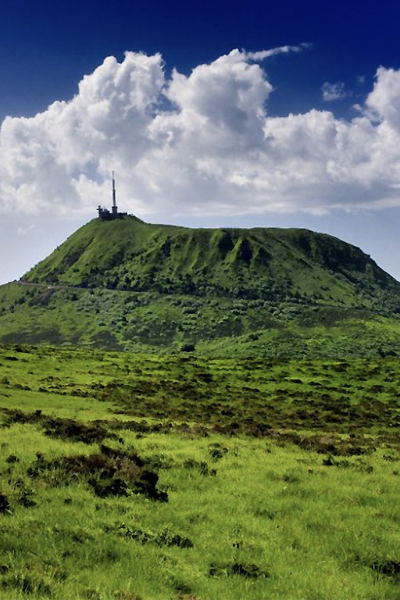
63. Cournon
La station météorologique de Cournon d’Auvergne est localisée
63. OPME
La station météorologique d’Opme est localisée à 10 km au sud de
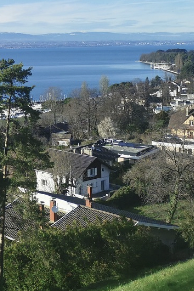
74. Thonon-les-Bains
La station de Thonon-les-Bains est localisée sur le site de la Station
84. Avignon
Avignon est située dans le sud de la France, à 60 km de la mer, dans la
91. Orsay station
La région Île-de-France bénéficie d’un climat tempéré modéré par
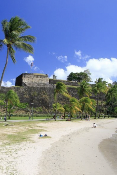
972. Fort-de-France
Le climat de la Martinique est de type tropical divisé en deux saisons

973. Cayenne Montabo
Le centre de recherche de Montabo est situé à Cayenne proche de
974. Grand-Ilet
Grand Îlet est un village des Hauts de La Réunion situé dans le cirque